Kézbesítés
Vásárlási tanácsadó


Nem vált be? Semmi gond! Nálunk 30 napon belül visszaküldheti
 Ajándékutalvány
bármilyen értékben
Ajándékutalvánnyal nem nyúlhat mellé. A megajándékozott az ajándékutalványért bármit választhat kínálatunkból.
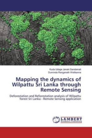
Mapping the dynamics of Wilpattu Sri Lanka through Remote Sensing
 Angol
Angol
 119 b
119 b
30 nap a termék visszaküldésére
Ezt is ajánljuk


National parks and forest reserves by far could be considered as the heart of a countries bio network. Both these important geographical phenomena are subjected to decay. This decay is a vague entity called deforestation, and one of the challenging tasks to estimate using multi spectral satellite data. Deforestation is mainly triggered by timber production and new settlements in Sri Lanka. This study attempts to identify and analyze the forest cover and its changes in the Wilpattu national park of Sri Lanka, which has grown into a level of a national crisis. The rapid utilization of remote sensing satellites and techniques has provided a reliable, effective, and near real time possibilities to characterize terrestrial ecosystem properties. In this study a time series of Landsat imagery (1977-2015) have been used for the analysis collaborate with the theoretical concepts of Support vector machine based land cover classification and Vegetation indices separately to extract the Vegetation, surface, water and canopy conditions. Finally the Markov chains were used to predict and model the forest cover in another 30 years using time series Support vector machine results.
Információ a könyvről
 Angol
Angol


 Kapcsolat
 Hogyan vásároljunk


