 Kapcsolat
 Hogyan vásároljunk
Kézbesítés
Vásárlási tanácsadó
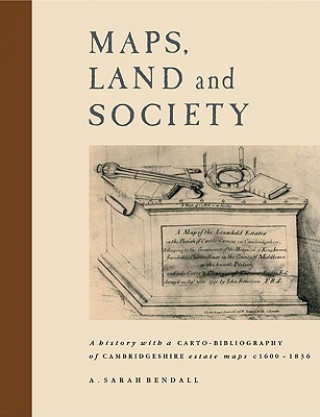
Maps, Land and Society
 Angol
Angol
 160 b
160 b
30 nap a termék visszaküldésére
Ezt is ajánljuk


 /
Puha kötésű
/
Puha kötésű
 40 890
Ft
40 890
Ft
This book investigates maps and their reflection of and influence on the contemporary society of early modern Britain. It is concerned with rural estate maps, which were primarily drawn to show landownership, and with the surveyors who drew them and the landowners who commissioned them. The links between different aspects of maps and their relation to society are exemplified by a study of the historic county of Cambridgeshire. The work is based on a carto-bibliography of the estate maps of Cambridgeshire which were drawn by 1836. The first section of the book examines three main areas: the maps and how map-making grew and changed from 1600 to 1836, the surveyors and the development of the surveying profession, and the landowners and how they used the maps. The second part is a carto-bibliography of 785 estate maps, which were found in 50 repositories. Details are recorded about each map's physical characteristics, the topographical information which it shows, and the amount and type of decoration which the surveyor used. The study, therefore, is part of a wider concern with the interrelations between maps and society, and with the way they interact and change. These factors can be seen as part of more general developments in the history of cartography, which in turn can be related to broader changes in society in early modern Britain.
Információ a könyvről
Angol
